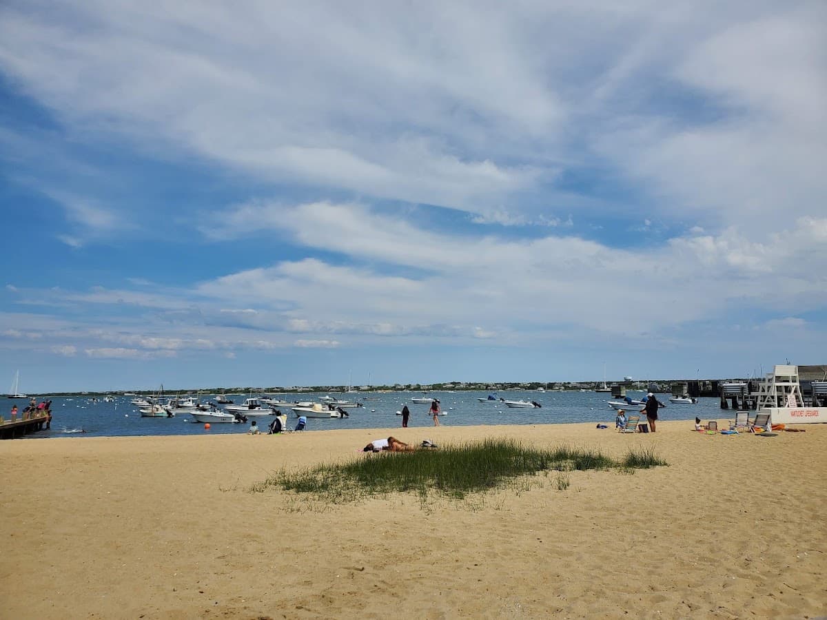
Harbor
Childrens Beach
Nantucket, MA
Accessible
(25)
FamiliestoddlersPlaygroundcalm water
Calm waterLifeguardsSunsets
Nantucket, Massachusetts · Nantucket Sound
Nantucket's postcard view — lighthouse, ferries, harbor entrance
Home to the iconic Brant Point Lighthouse — the second-oldest lighthouse in America. Watch ferries glide in and out of the harbor. Calm water, easy walk from town, and a Nantucket must-see.
Brant Point sits at the entrance to Nantucket Harbor, with the squat red-roofed lighthouse — the second-oldest in America — anchoring the spit of sand where every arriving Steamship Authority ferry slows for the channel. The beach is small, the water is calm, and the entertainment is constant: ferries, sailboats, the harbormaster's launch, an endless rotation of boat traffic just yards offshore. There are no facilities here and no real swim beach — the channel currents at the harbor mouth are strong — but Brant Point is the postcard view of the island, and a fifteen-minute walk from downtown makes it the easiest beach visit on Nantucket.
History
Brant Point Light, first established in 1746, is the second-oldest lighthouse station in the United States after Boston Light.
Photo spot
Lighthouse with a ferry passing in the background at sunset
Birds you may see: common tern, herring gull, double-crested cormorant, osprey
Things to know
Walk or bike from town
Allowed on leash off-season; restricted in summer swim areas.
Walk to downtown Nantucket (~0.5mi) for everything
Parking at Brant Point Road is free and open to the public, but lots fill early on summer weekends — arrive before about 10am for the best chance of a spot.
Dogs are allowed at Brant Point Road — Allowed on leash off-season; restricted in summer swim areas.
No — Brant Point Road does not have lifeguards on duty, so swim with caution.
Brant Point Road does not have public restrooms on site, so plan accordingly.
Brant Point Road is a sheltered harbor beach on Nantucket Sound. Expect calm, gentle water that's good for young kids and easy swimming. Average summer water temperature is around 66–70°F (July–Aug).
Brant Point Road is especially good for families and lighthouse.
Late afternoon for ferry watching and lighthouse photos.
Nantucket, MA
Nantucket, MA
Nantucket, MA