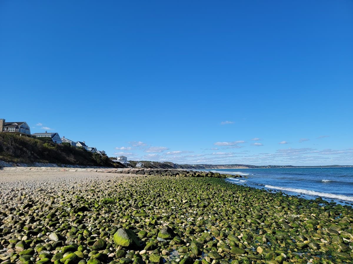
Bay / Calm
Sagamore Beach
Bourne, MA
Plover closureHidden gem
No rating0
WalkingSeclusioncanal views
Calm waterUncrowdedSunsets
Cape Cod traffic from to on a · July
Getting onto the Cape
typical| 6a | 7a | 8a | 9a | 10a | 11a | 12p | 1p | 2p | 3p | 4p | 5p | 6p | 7p | 8p | 9p | |
|---|---|---|---|---|---|---|---|---|---|---|---|---|---|---|---|---|
| Thu | – | – | – | – | – | – | ||||||||||
| Fri | ||||||||||||||||
| Sat | – | – | – |
Source: Google Routes API
Current Drive Time to Sagamore Bridge
~56 min
Typical for this hourBuilt from drive-time measurements collected throughout the day (54,099 logged since May 2026). Typical values prioritize recent same-weekday observations; calibrated values and busy-day ranges are labeled when modeling is used.
Thursday
2P spike to 2:03 — the week's worst
Friday
Peaks mid-afternoon at 1:47
Saturday
Peaks mid-afternoon at 1:41
Show me between and , , on over , .
| When | Route | Duration vs clear |
|---|---|---|
The Sagamore carries Route 3 and the Mid-Cape Highway, so it takes the brunt of the Boston and South Shore getaway. Here is what the crossing actually does, hour by hour, from logged drive-time readings.
On a typical Thursday, the calmest window is around 9 PM (~65 min) and the worst is around 2 PM (~123 min, up to ~135 on busy days — about 128% over a clear run).
Based on measured readings, the calmest Thursday window is around 9 PM, when the drive typically runs about 65 minutes. The closer you get to 2 PM, the worse it gets.
Anywhere from about 65 minutes in the calmest window to 123 minutes at the Thursday peak — and up to roughly 135 minutes on the busiest days. These are measured averages from drive-time readings taken every 15 minutes, not estimates.
The peak is around 2 PM, averaging 123 minutes from Boston — about 128% over a clear run. It typically eases within a few hours either side.
Measured. A collection job records the with-traffic drive time from the Google Routes API every 15 minutes during Cape travel windows. See the full methodology and tables on the traffic statistics page.
Answers computed from measured readings · full statistics & methodology
Bourne, MA
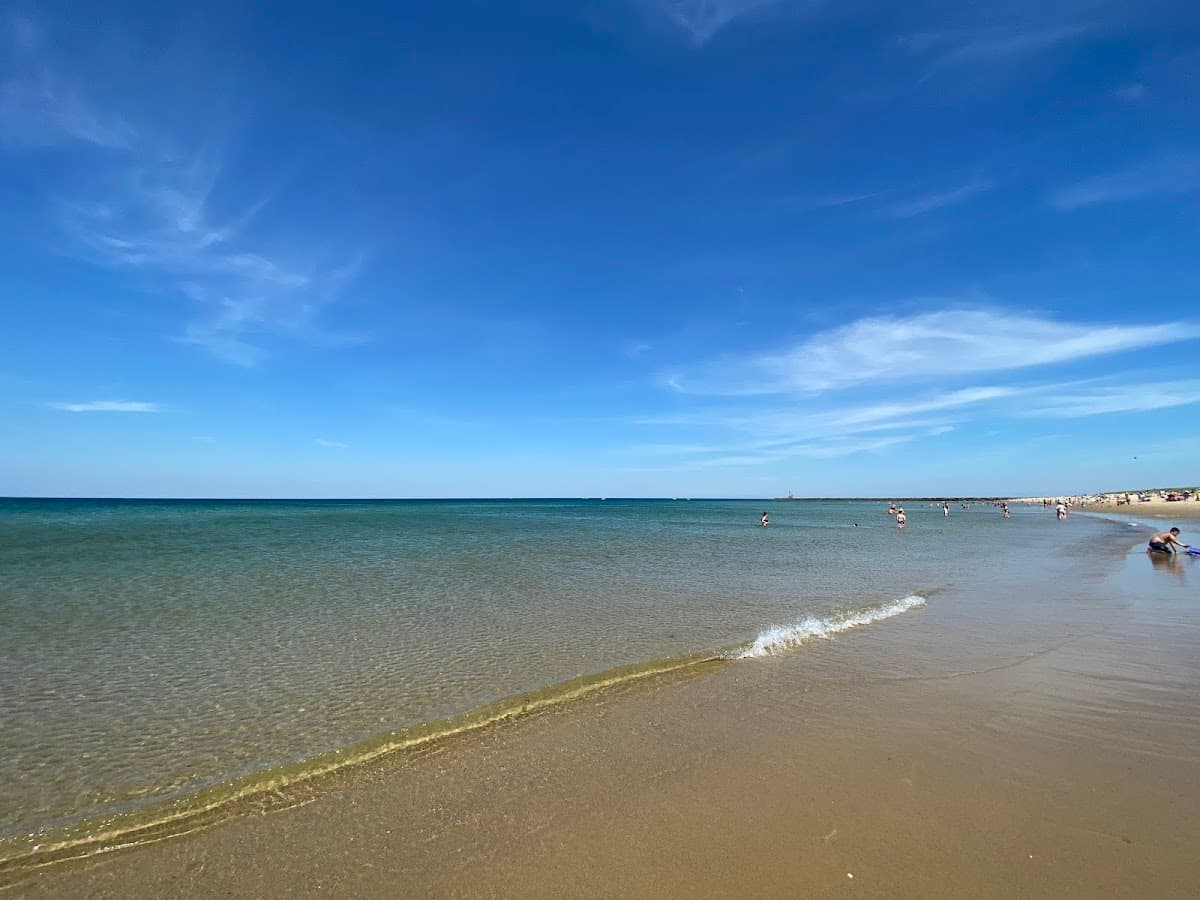
Sandwich, MA
Sandwich, MA
Sandwich, MA
Carry this route and timing into the trip planner — beaches, towns, and a day that fits when you actually cross.
One Sunday-evening email: how the weekend drove and what next weekend looks like — so you can plan the trip before you leave. No noise.