Ocean / Surf
East Beach
Edgartown, Martha's Vineyard, MA
Plover closureHidden gemSurf · intermediateSeal viewing
(11)
SeclusionNatureFishingBirding
Surf wavesUncrowded
Edgartown, Martha's Vineyard, Massachusetts · Atlantic Ocean + Katama Bay
The Vineyard's drive-on barrier-beach fishery
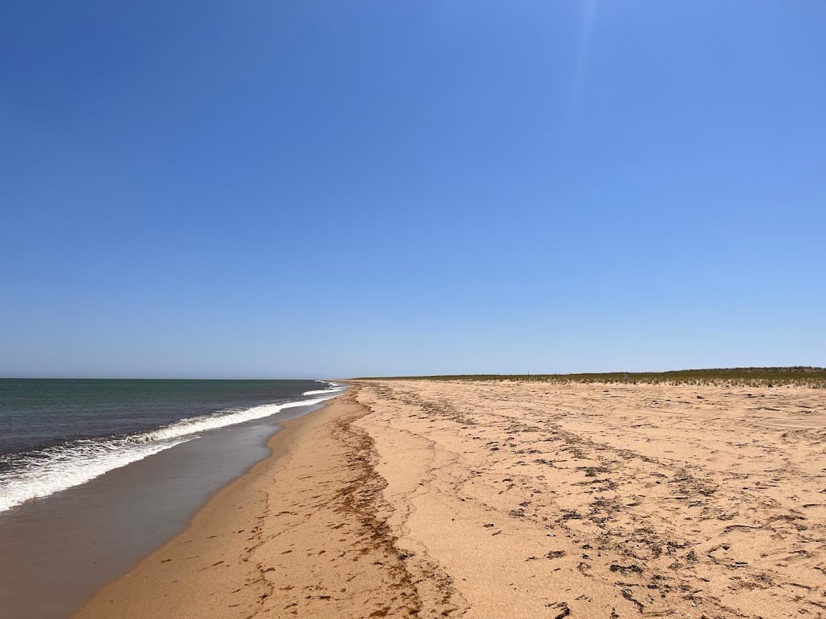
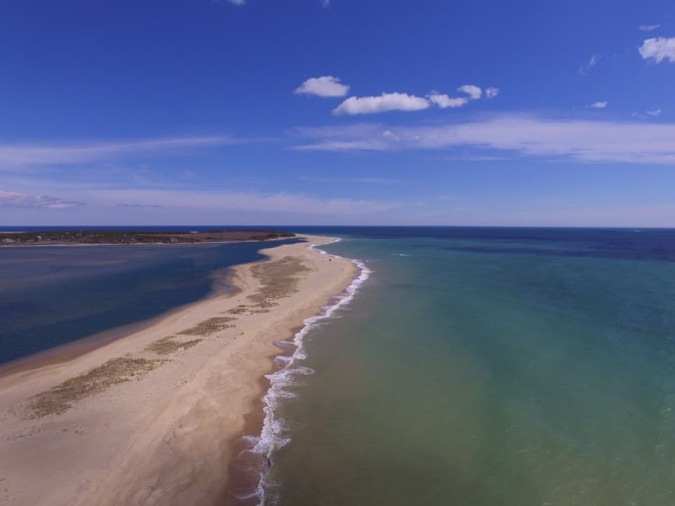
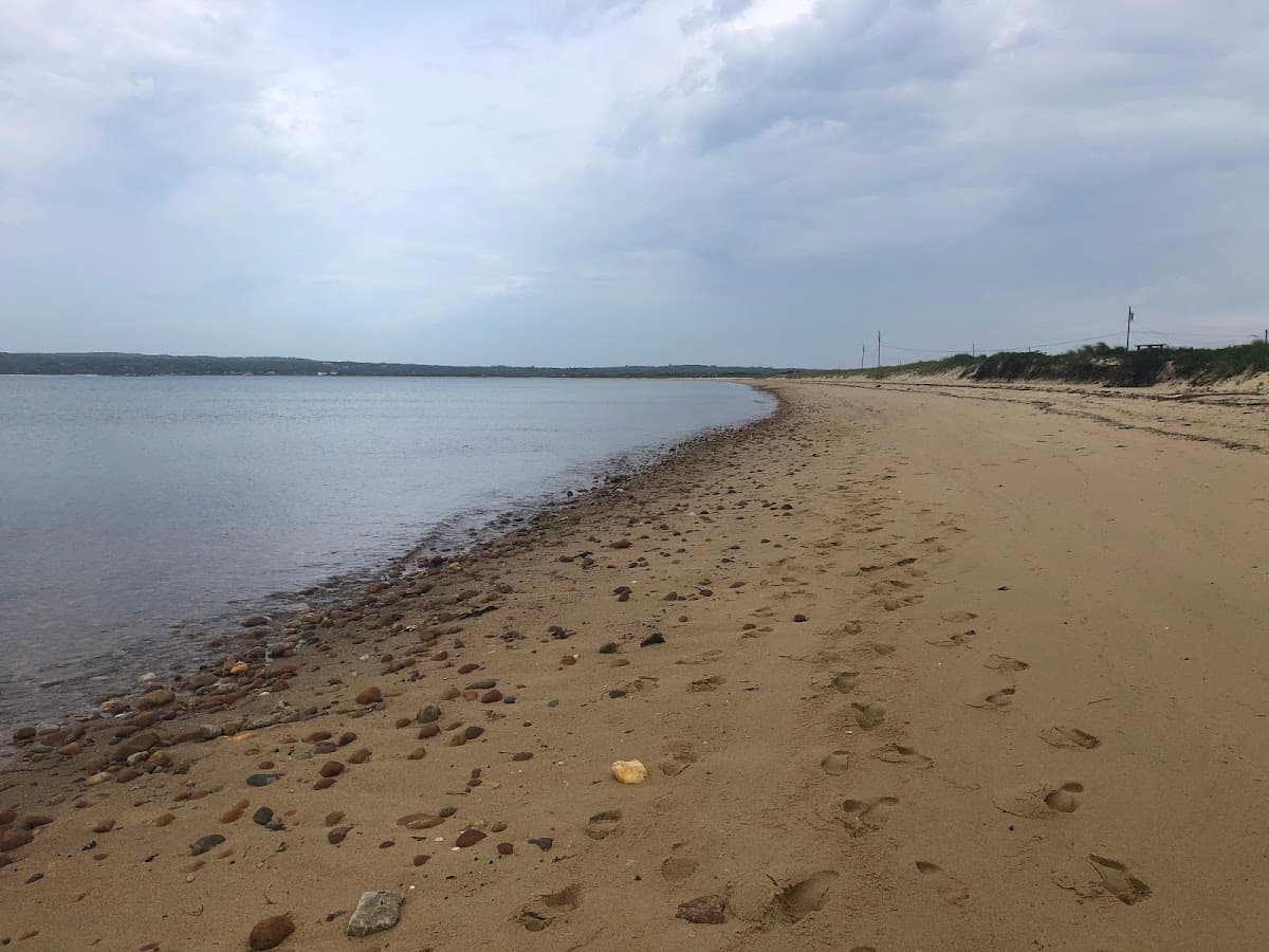
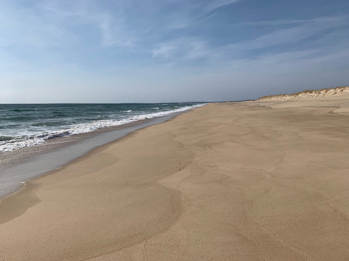
A barrier beach connecting South Beach to Chappaquiddick, accessible by 4WD with a Trustees permit. Remote Atlantic beach with excellent surf fishing. One of the wildest stretches of sand on the Vineyard.
Norton Point is the slim, ever-shifting barrier beach that connects (and occasionally separates from) Chappaquiddick to the main island, running east from South Beach across Katama Bay to Wasque Point. Access is by 4WD only with a Trustees of Reservations Over-Sand Vehicle permit, and even then it's strictly seasonal and weather-dependent — the beach periodically breaches through, cutting Chappy off from Edgartown by car. For visitors with the right vehicle and patience to get the permit, the reward is a stretch of Atlantic coast nearly devoid of buildings, with world-class surfcasting for stripers and blues, nesting plovers and oystercatchers, and the only legal driving-on-sand experience on the Vineyard. Without a permit you can hike in from the Katama end. Bring water, sunscreen, and respect for the closures — every nesting season some sections are roped off.
Photo spot
ORVs lined along the beach with the Atlantic beyond
Birds you may see: piping plover, American oystercatcher, least tern, willet
Things to know
Trustees property, 4WD permit required
Dogs not permitted during plover nesting season; check Trustees rules.
Photo by Daniel Buch via Google Places
Parking at Norton Point Beach is free and open to the public, but lots fill early on summer weekends — arrive before about 10am for the best chance of a spot.
Dogs are not permitted at Norton Point Beach during the summer season — Dogs not permitted during plover nesting season; check Trustees rules.
No — Norton Point Beach does not have lifeguards on duty, so swim with caution.
Norton Point Beach does not have public restrooms on site, so plan accordingly.
Norton Point Beach is an open-ocean surf beach on Atlantic Ocean + Katama Bay. Expect bigger surf and waves — better for bodyboarding and confident swimmers. Average summer water temperature is around 62-68°F (July–Aug).
Norton Point Beach is especially good for fishing, seclusion and birding.
Anytime with a 4WD permit.
Edgartown, Martha's Vineyard, MA
Aquinnah, Martha's Vineyard, MA
West Tisbury, Martha's Vineyard, MA
Norton Point Beach also appears on: Best for surfing · Best for secluded · Best for free parking